TYPE:
SENSOR
LAYER:
DS_PHR1B_202303171121049_FR1_PX_W002N49_1009_01237
FORMAT:
DIMAP
RASTER:
image/jp2
General Information
Map Name
Geometric Processing Level
Radiometric Processing Level
BASIC
Image dimensions
Number of columns
31875
Number of rows
27284
Number of spectral bands
1
Dataset framing
Vertice
Longitude (DEG)
Latitude (DEG)
Row
Col
#1
-1.268650047700233
49.40343204794178
#2
-1.039266660094869
49.39933263187635
#3
-1.039434652232926
49.27239462126259
#4
-1.268666396323596
49.27698289328898
Dataset sources
PHR
Coordinate Reference System
Projected Coordinate System
Geocoding tables identification
EPSG(6.3)
Production
Production Date
2023-03-18T02:08:30.909
Job identification
6666527101-1
Dataset Producer Identification
AIRBUS DS GEO
Producer link
http://www.geo-airbusds.com
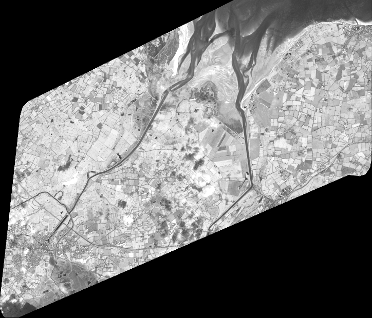
Quicklook
Copyright