TYPE:
SENSOR
LAYER:
DS_PHR1B_202303171121049_FR1_PX_W002N49_1009_01237
FORMAT:
DIMAP
RASTER:
image/jp2
General Information
Map Name
Geometric Processing Level
Radiometric Processing Level
BASIC
Image dimensions
Number of columns
7970
Number of rows
6821
Number of spectral bands
4
Dataset framing
Vertice
Longitude (DEG)
Latitude (DEG)
Row
Col
#1
-1.268640900532302
49.40342554755016
1
#2
-1.039243022066695
49.39932796024689
#3
-1.039409710670363
49.27240473706416
#4
-1.268656018955841
49.27699118389284
Dataset sources
PHR
Coordinate Reference System
Projected Coordinate System
Geocoding tables identification
EPSG(6.3)
Production
Production Date
2023-03-18T02:08:05.449
Job identification
6666527101-2
Dataset Producer Identification
AIRBUS DS GEO
Producer link
http://www.geo-airbusds.com
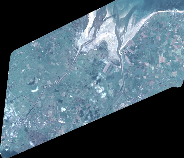
Quicklook
Copyright