TYPE:
SENSOR
LAYER:
DS_PHR1B_202303161041339_FR1_PX_E002N42_1221_01899
FORMAT:
DIMAP
RASTER:
image/jp2
General Information
Map Name
Geometric Processing Level
Radiometric Processing Level
BASIC
Image dimensions
Number of columns
27092
Number of rows
42159
Number of spectral bands
1
Dataset framing
Vertice
Longitude (DEG)
Latitude (DEG)
Row
Col
#1
2.90848478948564
42.93114263237911
#2
3.082630929893221
42.92749167163322
#3
3.081732827052095
42.73337917853835
#4
2.90823529468675
42.73637601451538
Dataset sources
PHR
Coordinate Reference System
Projected Coordinate System
Geocoding tables identification
EPSG(6.3)
Production
Production Date
2023-03-16T23:35:52.461
Job identification
6665428101-1
Dataset Producer Identification
AIRBUS DS GEO
Producer link
http://www.geo-airbusds.com
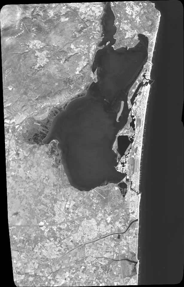
Quicklook
Copyright