TYPE:
SENSOR
LAYER:
DS_PHR1B_202303161041219_FR1_PX_E003N43_0302_03380
FORMAT:
DIMAP
RASTER:
image/jp2
General Information
Map Name
Geometric Processing Level
Radiometric Processing Level
BASIC
Image dimensions
Number of columns
9857
Number of rows
18881
Number of spectral bands
4
Dataset framing
Vertice
Longitude (DEG)
Latitude (DEG)
Row
Col
#1
3.039394776051082
43.24847461826844
1
#2
3.29417366121984
43.2453806041411
#3
3.292886845699089
42.9016755857832
#4
3.040902712784472
42.90264559865609
Dataset sources
PHR
Coordinate Reference System
Projected Coordinate System
Geocoding tables identification
EPSG(6.3)
Production
Production Date
2023-03-16T23:39:44.469
Job identification
6665427101-2
Dataset Producer Identification
AIRBUS DS GEO
Producer link
http://www.geo-airbusds.com
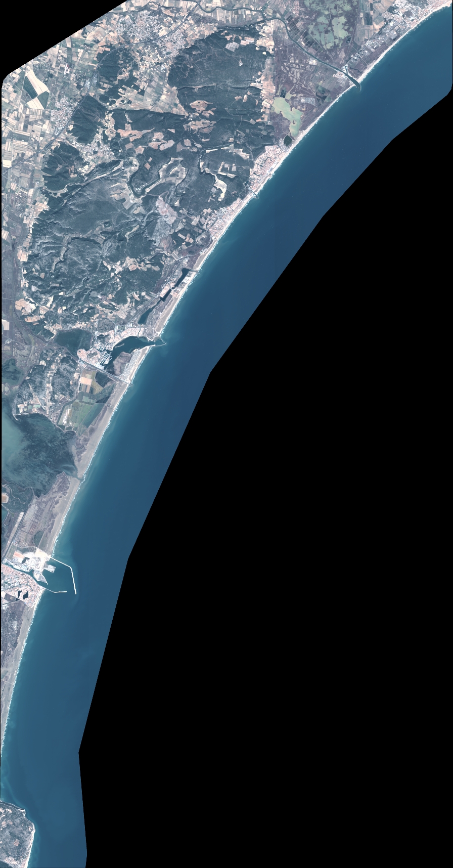
Quicklook
Copyright