TYPE:
SENSOR
LAYER:
DS_PHR1B_202303161041126_FR1_PX_E003N43_0508_01795
FORMAT:
DIMAP
RASTER:
image/jp2
General Information
Map Name
Geometric Processing Level
Radiometric Processing Level
BASIC
Image dimensions
Number of columns
9876
Number of rows
9961
Number of spectral bands
4
Dataset framing
Vertice
Longitude (DEG)
Latitude (DEG)
Row
Col
#1
3.250803965581196
43.40816110353865
1
#2
3.505852090842026
43.40820356487732
#3
3.505081479227791
43.22735677135622
#4
3.25137894786078
43.22620664240654
Dataset sources
PHR
Coordinate Reference System
Projected Coordinate System
Geocoding tables identification
EPSG(6.3)
Production
Production Date
2023-03-16T23:35:43.454
Job identification
6665426101-2
Dataset Producer Identification
AIRBUS DS GEO
Producer link
http://www.geo-airbusds.com
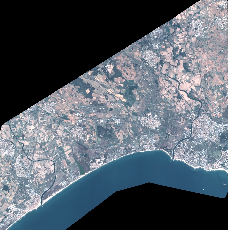
Quicklook
Copyright