TYPE:
SENSOR
LAYER:
DS_PHR1B_202303161040539_FR1_PX_E004N43_0315_00862
FORMAT:
DIMAP
RASTER:
image/jp2
General Information
Map Name
Geometric Processing Level
Radiometric Processing Level
BASIC
Image dimensions
Number of columns
38032
Number of rows
18819
Number of spectral bands
1
Dataset framing
Vertice
Longitude (DEG)
Latitude (DEG)
Row
Col
#1
4.095105259046509
43.62955578092748
#2
4.339674098516788
43.63377567206262
#3
4.339217255817548
43.54678739227084
#4
4.095219634062519
43.54219202751979
Dataset sources
PHR
Coordinate Reference System
Projected Coordinate System
Geocoding tables identification
EPSG(6.3)
Production
Production Date
2023-03-16T23:31:11.875
Job identification
6665425101-1
Dataset Producer Identification
AIRBUS DS GEO
Producer link
http://www.geo-airbusds.com
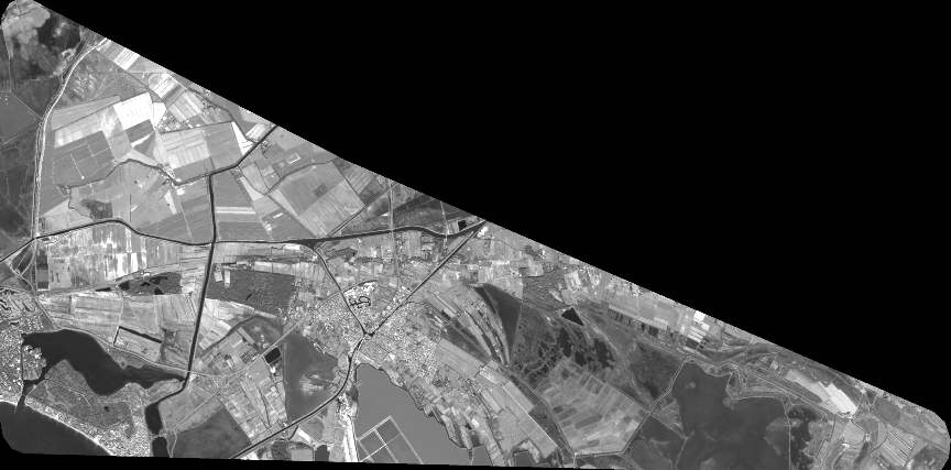
Quicklook
Copyright