TYPE:
SENSOR
LAYER:
DS_PHR1A_202303151048252_FR1_PX_E003N43_1013_01480
FORMAT:
DIMAP
RASTER:
image/jp2
General Information
Map Name
Geometric Processing Level
Radiometric Processing Level
BASIC
Image dimensions
Number of columns
28738
Number of rows
32740
Number of spectral bands
1
Dataset framing
Vertice
Longitude (DEG)
Latitude (DEG)
Row
Col
#1
3.744619730654903
43.57427036851207
#2
3.927158821499515
43.57353885141688
#3
3.926931008815676
43.41974061586675
#4
3.744743167234856
43.42047840421567
Dataset sources
PHR
Coordinate Reference System
Projected Coordinate System
Geocoding tables identification
EPSG(6.3)
Production
Production Date
2023-03-16T10:12:12.537
Job identification
6665283101-1
Dataset Producer Identification
AIRBUS DS GEO
Producer link
http://www.geo-airbusds.com
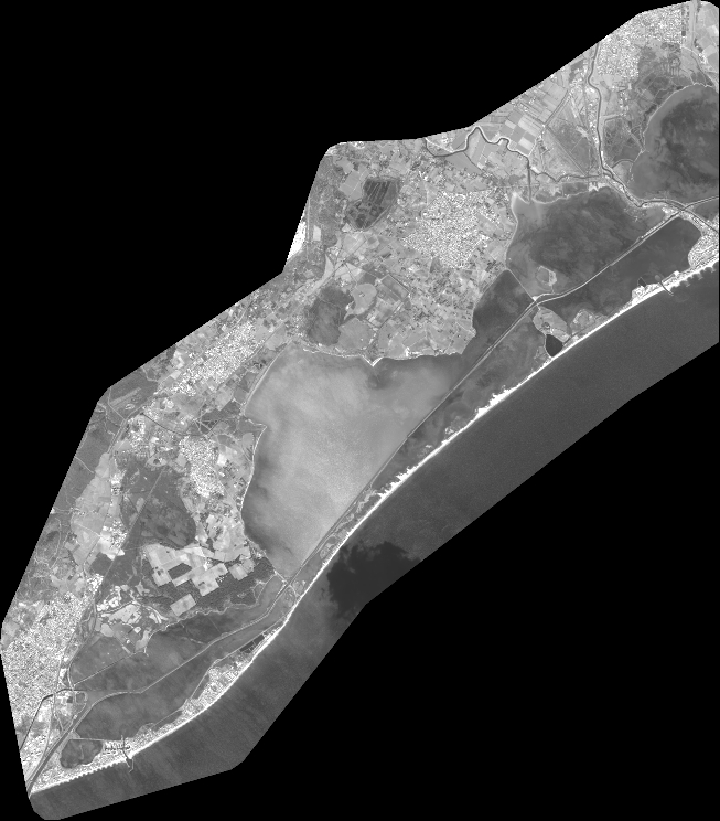
Quicklook
Copyright