TYPE:
SENSOR
LAYER:
DS_PHR1A_202303151048252_FR1_PX_E003N43_1013_01480
FORMAT:
DIMAP
RASTER:
image/jp2
General Information
Map Name
Geometric Processing Level
Radiometric Processing Level
BASIC
Image dimensions
Number of columns
7185
Number of rows
8186
Number of spectral bands
4
Dataset framing
Vertice
Longitude (DEG)
Latitude (DEG)
Row
Col
#1
3.744625994766164
43.57426304036935
1
#2
3.92715872197188
43.57353122395697
#3
3.926933895797586
43.41972952777215
#4
3.744752405431297
43.42046766453174
Dataset sources
PHR
Coordinate Reference System
Projected Coordinate System
Geocoding tables identification
EPSG(6.3)
Production
Production Date
2023-03-16T10:11:30.028
Job identification
6665283101-2
Dataset Producer Identification
AIRBUS DS GEO
Producer link
http://www.geo-airbusds.com
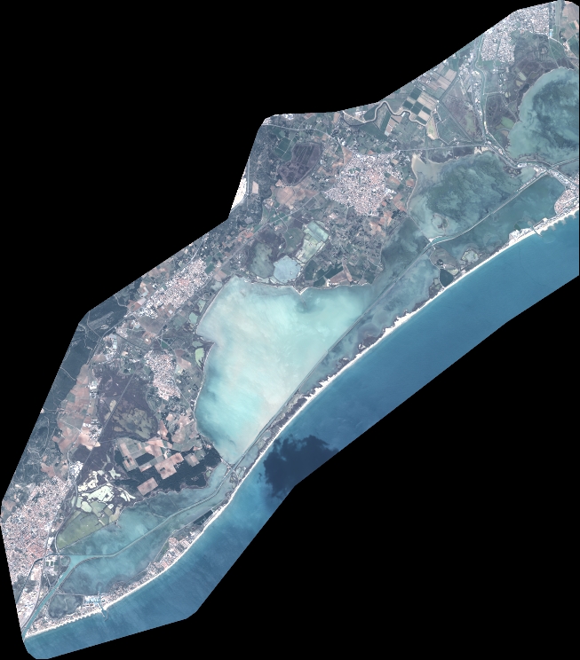
Quicklook
Copyright