TYPE:
SENSOR
LAYER:
DS_PHR1A_202303151048448_FR1_PX_E004N43_0312_01391
FORMAT:
DIMAP
RASTER:
image/jp2
General Information
Map Name
Geometric Processing Level
Radiometric Processing Level
BASIC
Image dimensions
Number of columns
9954
Number of rows
7716
Number of spectral bands
4
Dataset framing
Vertice
Longitude (DEG)
Latitude (DEG)
Row
Col
#1
4.097724056108749
43.5687922269175
1
#2
4.348040358695911
43.56827754298657
#3
4.347903262857255
43.42932138114657
#4
4.097807347592317
43.43034122219663
Dataset sources
PHR
Coordinate Reference System
Projected Coordinate System
Geocoding tables identification
EPSG(6.3)
Production
Production Date
2023-03-16T08:39:50.368
Job identification
6664979101-2
Dataset Producer Identification
AIRBUS DS GEO
Producer link
http://www.geo-airbusds.com
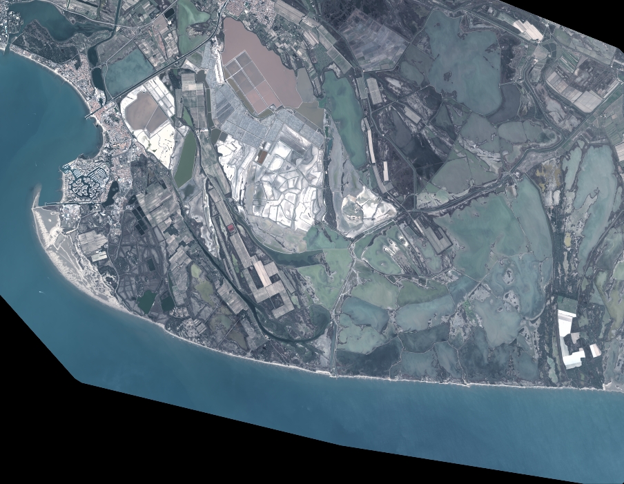
Quicklook
Copyright