TYPE:
SENSOR
LAYER:
DS_PHR1A_202303151048535_FR1_PX_E003N43_1112_01509
FORMAT:
DIMAP
RASTER:
image/jp2
General Information
Map Name
Geometric Processing Level
Radiometric Processing Level
BASIC
Image dimensions
Number of columns
9530
Number of rows
8380
Number of spectral bands
4
Dataset framing
Vertice
Longitude (DEG)
Latitude (DEG)
Row
Col
#1
3.744526492164407
43.57181671511622
1
#2
3.983420707142459
43.57309387616573
#3
3.983264445767784
43.42219855816554
#4
3.744718959853089
43.42138243917974
Dataset sources
PHR
Coordinate Reference System
Projected Coordinate System
Geocoding tables identification
EPSG(6.3)
Production
Production Date
2023-03-16T08:34:55.870
Job identification
6664978101-2
Dataset Producer Identification
AIRBUS DS GEO
Producer link
http://www.geo-airbusds.com
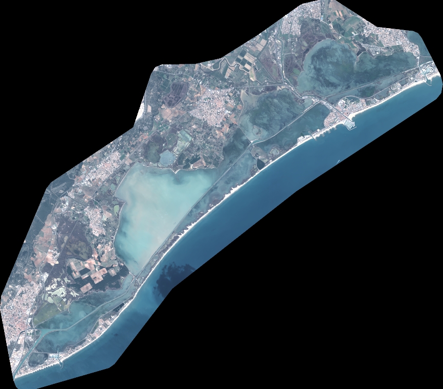
Quicklook
Copyright