TYPE:
SENSOR
LAYER:
DS_PHR1A_202303151048355_FR1_PX_E004N43_0114_01778
FORMAT:
DIMAP
RASTER:
image/jp2
General Information
Map Name
Geometric Processing Level
Radiometric Processing Level
BASIC
Image dimensions
Number of columns
9954
Number of rows
9894
Number of spectral bands
4
Dataset framing
Vertice
Longitude (DEG)
Latitude (DEG)
Row
Col
#1
3.88691985984077
43.64090074935167
1
#2
4.136604259738258
43.63941039496196
#3
4.136356240198258
43.46009464680924
#4
3.887170397255571
43.46190985265628
Dataset sources
PHR
Coordinate Reference System
Projected Coordinate System
Geocoding tables identification
EPSG(6.3)
Production
Production Date
2023-03-16T08:32:29.801
Job identification
6664970101-2
Dataset Producer Identification
AIRBUS DS GEO
Producer link
http://www.geo-airbusds.com
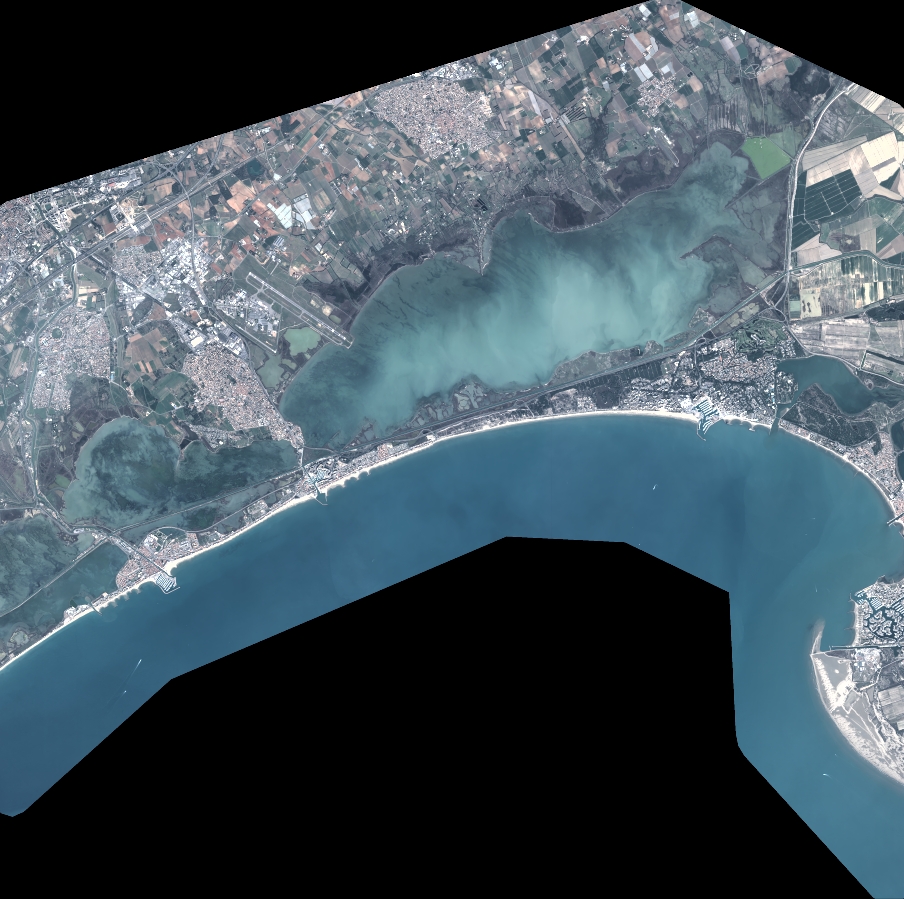
Quicklook
Copyright