TYPE:
SENSOR
LAYER:
DS_PHR1A_202303151048246_FR1_PX_E003N43_1012_02099
FORMAT:
DIMAP
RASTER:
image/jp2
General Information
Map Name
Geometric Processing Level
Radiometric Processing Level
BASIC
Image dimensions
Number of columns
9954
Number of rows
11698
Number of spectral bands
4
Dataset framing
Vertice
Longitude (DEG)
Latitude (DEG)
Row
Col
#1
3.674303035706834
43.6081999794246
1
#2
3.927256812817256
43.60714128378445
#3
3.926934912424676
43.38733930393473
#4
3.674681984970588
43.38829424821745
Dataset sources
PHR
Coordinate Reference System
Projected Coordinate System
Geocoding tables identification
EPSG(6.3)
Production
Production Date
2023-03-16T01:01:21.628
Job identification
6664693101-2
Dataset Producer Identification
AIRBUS DS GEO
Producer link
http://www.geo-airbusds.com
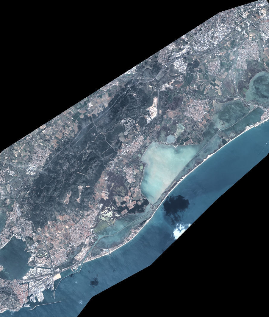
Quicklook
Copyright