TYPE:
SENSOR
LAYER:
DS_PHR1A_202303151049024_FR1_PX_E003N43_0810_02611
FORMAT:
DIMAP
RASTER:
image/jp2
General Information
Map Name
Geometric Processing Level
Radiometric Processing Level
BASIC
Image dimensions
Number of columns
9954
Number of rows
14544
Number of spectral bands
4
Dataset framing
Vertice
Longitude (DEG)
Latitude (DEG)
Row
Col
#1
3.464211173081053
43.51601165956454
1
#2
3.714807919695309
43.51872919187627
#3
3.714471660909912
43.25286026544332
#4
3.464498634742501
43.25085590804215
Dataset sources
PHR
Coordinate Reference System
Projected Coordinate System
Geocoding tables identification
EPSG(6.3)
Production
Production Date
2023-03-16T01:06:24.619
Job identification
6664694101-2
Dataset Producer Identification
AIRBUS DS GEO
Producer link
http://www.geo-airbusds.com
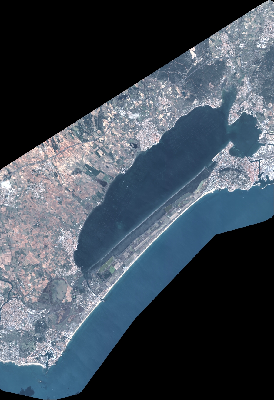
Quicklook
Copyright