TYPE:
SENSOR
LAYER:
DS_PHR1B_202303041033465_FR1_PX_E004N43_0614_02596
FORMAT:
DIMAP
RASTER:
image/jp2
General Information
Map Name
Geometric Processing Level
Radiometric Processing Level
BASIC
Image dimensions
Number of columns
40000
Number of rows
57876
Number of spectral bands
1
Dataset framing
Vertice
Longitude (DEG)
Latitude (DEG)
Row
Col
#1
4.284553234256436
43.72312521010655
#2
4.559840520203369
43.70804659754428
#3
4.55855490015171
43.42513337911486
#4
4.286100982137738
43.43783232057342
Dataset sources
PHR
Coordinate Reference System
Projected Coordinate System
Geocoding tables identification
EPSG(6.3)
Production
Production Date
2023-03-09T18:28:15.361
Job identification
6660666101-1
Dataset Producer Identification
AIRBUS DS GEO
Producer link
http://www.geo-airbusds.com
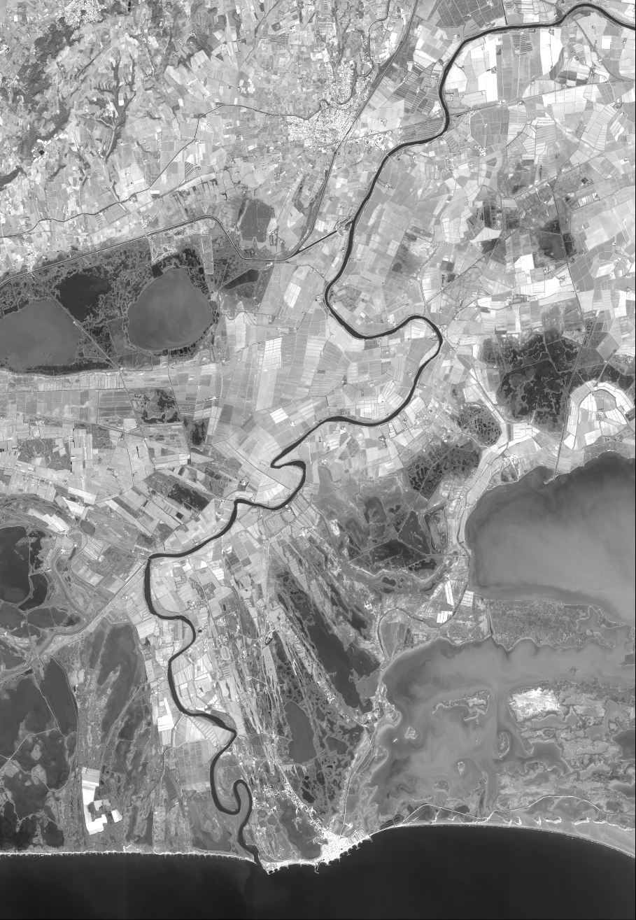
Quicklook
Copyright