TYPE:
SENSOR
LAYER:
DS_PHR1B_202303041033465_FR1_PX_E004N43_0614_02596
FORMAT:
DIMAP
RASTER:
image/jp2
General Information
Map Name
Geometric Processing Level
Radiometric Processing Level
BASIC
Image dimensions
Number of columns
10000
Number of rows
14469
Number of spectral bands
4
Dataset framing
Vertice
Longitude (DEG)
Latitude (DEG)
Row
Col
#1
4.284563280014265
43.72311410700348
1
#2
4.559829825637111
43.70803544236295
#3
4.558543332816256
43.42513760387233
#4
4.286109785063889
43.4378368766394
Dataset sources
PHR
Coordinate Reference System
Projected Coordinate System
Geocoding tables identification
EPSG(6.3)
Production
Production Date
2023-03-09T18:27:26.722
Job identification
6660666101-2
Dataset Producer Identification
AIRBUS DS GEO
Producer link
http://www.geo-airbusds.com
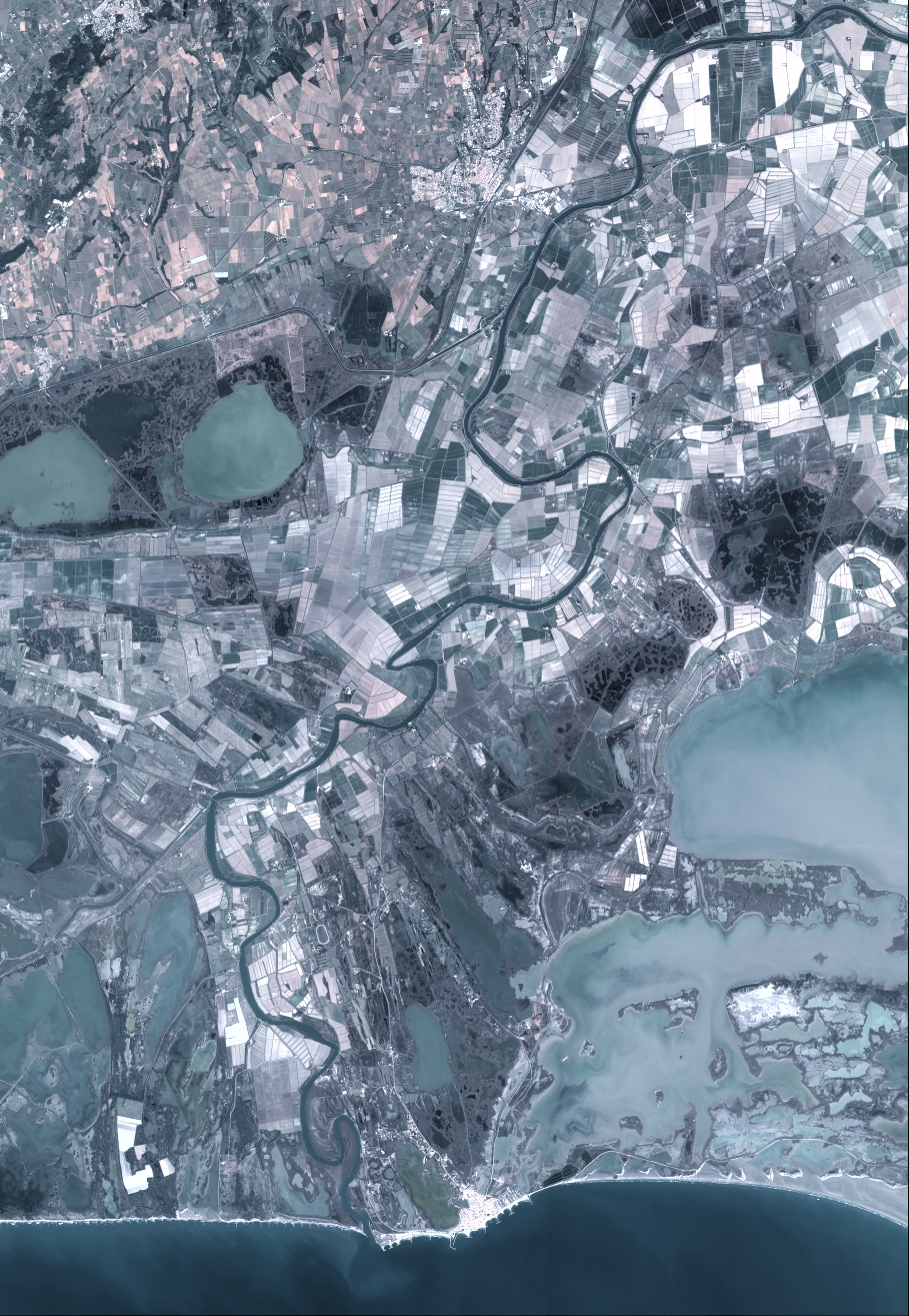
Quicklook
Copyright