TYPE:
SENSOR
LAYER:
DS_PHR1B_202303041033583_FR1_PX_E004N43_0813_03312
FORMAT:
DIMAP
RASTER:
image/jp2
General Information
Map Name
Geometric Processing Level
Radiometric Processing Level
BASIC
Image dimensions
Number of columns
10000
Number of rows
18498
Number of spectral bands
4
Dataset framing
Vertice
Longitude (DEG)
Latitude (DEG)
Row
Col
#1
4.500214864937992
43.7251399702103
1
#2
4.777732573535923
43.70693138794476
#3
4.775759963039153
43.3241708721015
#4
4.502266130803072
43.33951970708343
Dataset sources
PHR
Coordinate Reference System
Projected Coordinate System
Geocoding tables identification
EPSG(6.3)
Production
Production Date
2023-03-09T18:32:33.886
Job identification
6660665101-2
Dataset Producer Identification
AIRBUS DS GEO
Producer link
http://www.geo-airbusds.com
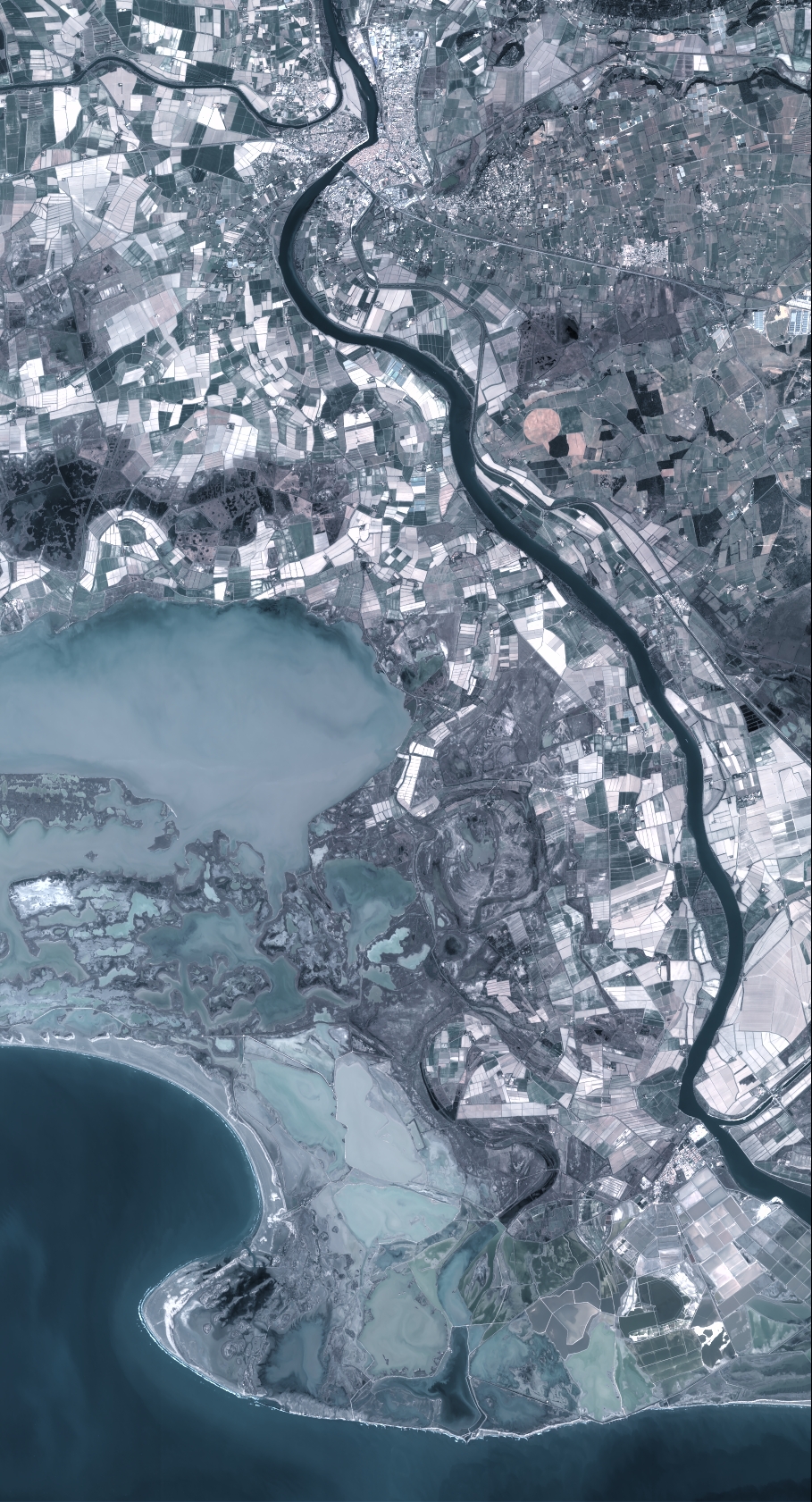
Quicklook
Copyright