TYPE:
SENSOR
LAYER:
DS_PHR1B_202303041034024_FR1_PX_E004N43_0817_00791
FORMAT:
DIMAP
RASTER:
image/jp2
General Information
Map Name
Geometric Processing Level
Radiometric Processing Level
BASIC
Image dimensions
Number of columns
8452
Number of rows
4301
Number of spectral bands
4
Dataset framing
Vertice
Longitude (DEG)
Latitude (DEG)
Row
Col
#1
4.540494904136246
43.42687887550405
1
#2
4.772200270952012
43.41338287106073
#3
4.772053123675732
43.32461729377962
#4
4.541110337922867
43.33758642191969
Dataset sources
PHR
Coordinate Reference System
Projected Coordinate System
Geocoding tables identification
EPSG(6.3)
Production
Production Date
2023-03-07T09:33:35.929
Job identification
6658751101-2
Dataset Producer Identification
AIRBUS DS GEO
Producer link
http://www.geo-airbusds.com
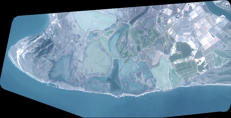
Quicklook
Copyright