TYPE:
SENSOR
LAYER:
DS_PHR1B_202303041033598_FR1_PX_E004N43_0817_00603
FORMAT:
DIMAP
RASTER:
image/jp2
General Information
Map Name
Geometric Processing Level
Radiometric Processing Level
BASIC
Image dimensions
Number of columns
33112
Number of rows
13012
Number of spectral bands
1
Dataset framing
Vertice
Longitude (DEG)
Latitude (DEG)
Row
Col
#1
4.517296776842845
43.61472722936366
#2
4.746185568158169
43.60033390551973
#3
4.745805132000006
43.53293936788101
#4
4.517540373361689
43.54686426841507
Dataset sources
PHR
Coordinate Reference System
Projected Coordinate System
Geocoding tables identification
EPSG(6.3)
Production
Production Date
2023-03-07T09:35:24.839
Job identification
6658749101-1
Dataset Producer Identification
AIRBUS DS GEO
Producer link
http://www.geo-airbusds.com
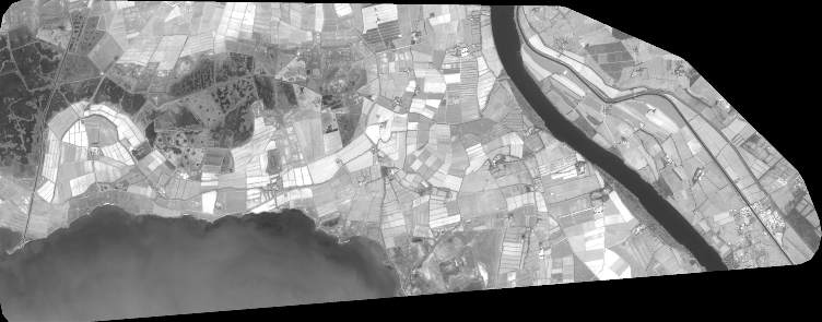
Quicklook
Copyright