TYPE:
SENSOR
LAYER:
DS_PHR1B_202303041033598_FR1_PX_E004N43_0817_00603
FORMAT:
DIMAP
RASTER:
image/jp2
General Information
Map Name
Geometric Processing Level
Radiometric Processing Level
BASIC
Image dimensions
Number of columns
8279
Number of rows
3253
Number of spectral bands
4
Dataset framing
Vertice
Longitude (DEG)
Latitude (DEG)
Row
Col
#1
4.517291967837007
43.61471845345201
1
#2
4.746187587920594
43.60032626783037
#3
4.745807122766049
43.53294737607052
#4
4.517535474710649
43.54687115152531
Dataset sources
PHR
Coordinate Reference System
Projected Coordinate System
Geocoding tables identification
EPSG(6.3)
Production
Production Date
2023-03-07T09:35:32.090
Job identification
6658749101-2
Dataset Producer Identification
AIRBUS DS GEO
Producer link
http://www.geo-airbusds.com
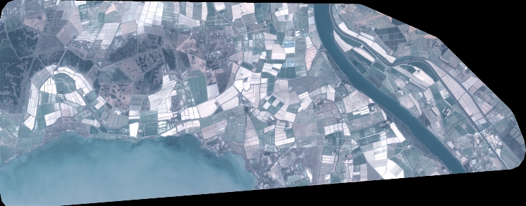
Quicklook
Copyright