TYPE:
SENSOR
LAYER:
DS_PHR1B_202303041033485_FR1_PX_E004N43_0616_01396
FORMAT:
DIMAP
RASTER:
image/jp2
General Information
Map Name
Geometric Processing Level
Radiometric Processing Level
BASIC
Image dimensions
Number of columns
37011
Number of rows
30812
Number of spectral bands
1
Dataset framing
Vertice
Longitude (DEG)
Latitude (DEG)
Row
Col
#1
4.30548461253068
43.58854653157855
#2
4.558848183853947
43.57559914211785
#3
4.558555390003447
43.4250872143732
#4
4.306626474958794
43.43684720585808
Dataset sources
PHR
Coordinate Reference System
Projected Coordinate System
Geocoding tables identification
EPSG(6.3)
Production
Production Date
2023-03-07T09:29:52.523
Job identification
6658748101-1
Dataset Producer Identification
AIRBUS DS GEO
Producer link
http://www.geo-airbusds.com
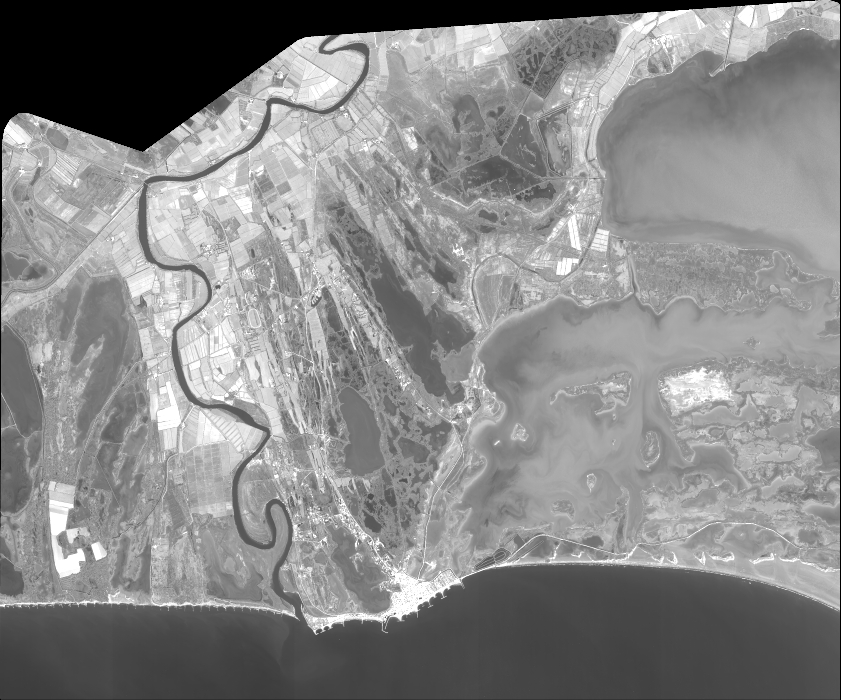
Quicklook
Copyright