TYPE:
SENSOR
LAYER:
DS_PHR1B_202303041033465_FR1_PX_E004N43_0614_02520
FORMAT:
DIMAP
RASTER:
image/jp2
General Information
Map Name
Geometric Processing Level
Radiometric Processing Level
BASIC
Image dimensions
Number of columns
36799
Number of rows
56164
Number of spectral bands
1
Dataset framing
Vertice
Longitude (DEG)
Latitude (DEG)
Row
Col
#1
4.297408935980152
43.72240937119781
#2
4.550600739381253
43.70855895103224
#3
4.549400161858696
43.43391679431101
#4
4.298699363147175
43.44566603519836
Dataset sources
PHR
Coordinate Reference System
Projected Coordinate System
Geocoding tables identification
EPSG(6.3)
Production
Production Date
2023-03-06T11:58:10.334
Job identification
6657751101-1
Dataset Producer Identification
AIRBUS DS GEO
Producer link
http://www.geo-airbusds.com
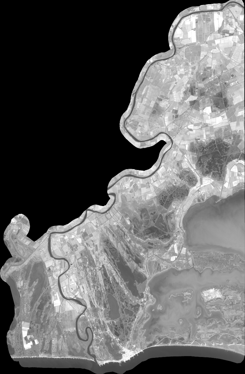
Quicklook
Copyright