TYPE:
SENSOR
LAYER:
DS_PHR1B_202303041033465_FR1_PX_E004N43_0614_02520
FORMAT:
DIMAP
RASTER:
image/jp2
General Information
Map Name
Geometric Processing Level
Radiometric Processing Level
BASIC
Image dimensions
Number of columns
9200
Number of rows
14041
Number of spectral bands
4
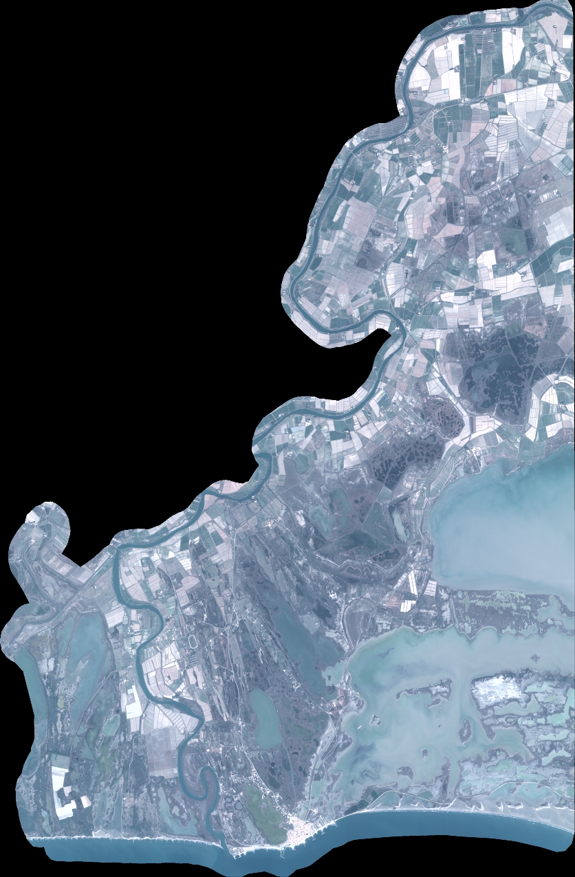
Dataset framing
Vertice
Longitude (DEG)
Latitude (DEG)
Row
Col
#1
4.297426061842446
43.7224004243515
1
#2
4.550603822744746
43.70855066488448
#3
4.549403368798063
43.43392445921133
#4
4.298716272860555
43.44567330825708
Dataset sources
PHR
Coordinate Reference System
Projected Coordinate System
Geocoding tables identification
EPSG(6.3)
Production
Production Date
2023-03-06T11:58:02.067
Job identification
6657751101-2
Dataset Producer Identification
AIRBUS DS GEO
Producer link
http://www.geo-airbusds.com
Quicklook
Copyright