TYPE:
SENSOR
LAYER:
DS_PHR1B_202303041033341_FR1_PX_E006N43_1010_01550
FORMAT:
DIMAP
RASTER:
image/jp2
General Information
Map Name
Geometric Processing Level
Radiometric Processing Level
BASIC
Image dimensions
Number of columns
39983
Number of rows
34325
Number of spectral bands
1
Dataset framing
Vertice
Longitude (DEG)
Latitude (DEG)
Row
Col
#1
6.650405669938706
43.45653536633168
#2
6.898669353506111
43.45629484751636
#3
6.898337734604603
43.30196363392449
#4
6.650718085267795
43.30200040303388
Dataset sources
PHR
Coordinate Reference System
Projected Coordinate System
Geocoding tables identification
EPSG(6.3)
Production
Production Date
2023-03-06T11:52:59.935
Job identification
6657750101-1
Dataset Producer Identification
AIRBUS DS GEO
Producer link
http://www.geo-airbusds.com
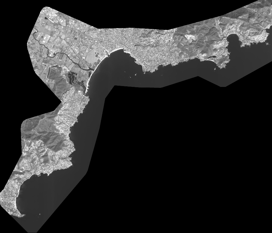
Quicklook
Copyright