TYPE:
SENSOR
LAYER:
DS_PHR1B_202303041033266_FR1_PX_E006N43_1111_00661
FORMAT:
DIMAP
RASTER:
image/jp2
General Information
Map Name
Geometric Processing Level
Radiometric Processing Level
BASIC
Image dimensions
Number of columns
3365
Number of rows
3579
Number of spectral bands
4
Dataset framing
Vertice
Longitude (DEG)
Latitude (DEG)
Row
Col
#1
6.86456195719868
43.46989060756408
1
#2
6.947766971418406
43.46992798904054
#3
6.947748774956986
43.40600021560299
#4
6.864603773002249
43.40599583913327
Dataset sources
PHR
Coordinate Reference System
Projected Coordinate System
Geocoding tables identification
EPSG(6.3)
Production
Production Date
2023-03-06T11:45:27.642
Job identification
6657748101-2
Dataset Producer Identification
AIRBUS DS GEO
Producer link
http://www.geo-airbusds.com
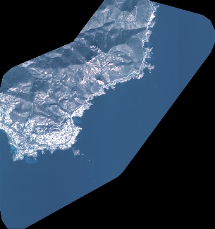
Quicklook
Copyright