TYPE:
SENSOR
LAYER:
DS_PHR1A_202303031041173_FR1_PX_E005N43_0607_00851
FORMAT:
DIMAP
RASTER:
image/jp2
General Information
Map Name
Geometric Processing Level
Radiometric Processing Level
BASIC
Image dimensions
Number of columns
6489
Number of rows
4674
Number of spectral bands
4
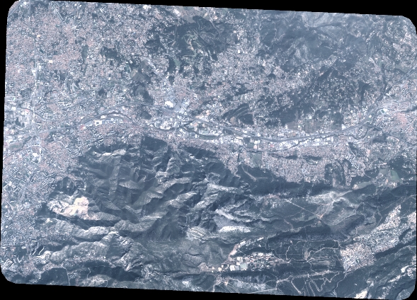
Dataset framing
Vertice
Longitude (DEG)
Latitude (DEG)
Row
Col
#1
5.410847452104731
43.32378367081898
1
#2
5.575851259844183
43.32639845985187
#3
5.575622357718256
43.23879773982065
#4
5.410916358073821
43.23656197957597
Dataset sources
PHR
Coordinate Reference System
Projected Coordinate System
Geocoding tables identification
EPSG(6.3)
Production
Production Date
2023-03-13T09:45:57.041
Job identification
6662271101-2
Dataset Producer Identification
AIRBUS DS GEO
Producer link
http://www.geo-airbusds.com
Quicklook
Copyright