TYPE:
SENSOR
LAYER:
DS_PHR1A_202303031041095_FR1_PX_E005N43_1007_00857
FORMAT:
DIMAP
RASTER:
image/jp2
General Information
Map Name
Geometric Processing Level
Radiometric Processing Level
BASIC
Image dimensions
Number of columns
7790
Number of rows
4701
Number of spectral bands
4
Dataset framing
Vertice
Longitude (DEG)
Latitude (DEG)
Row
Col
#1
5.676939358236914
43.31649876160761
1
#2
5.873115315646723
43.31877069049529
#3
5.873442755448408
43.23319287808019
#4
5.677412498455295
43.2312439196805
Dataset sources
PHR
Coordinate Reference System
Projected Coordinate System
Geocoding tables identification
EPSG(6.3)
Production
Production Date
2023-03-03T23:31:19.763
Job identification
6656210101-2
Dataset Producer Identification
AIRBUS DS GEO
Producer link
http://www.geo-airbusds.com
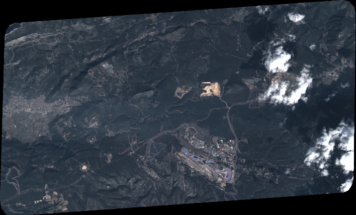
Quicklook
Copyright