TYPE:
SENSOR
LAYER:
DS_PHR1A_202301251451240_FR1_PX_W068S24_0416_01069
FORMAT:
DIMAP
RASTER:
image/tiff
General Information
Map Name
Geometric Processing Level
Radiometric Processing Level
BASIC
Image dimensions
Number of columns
23159
Number of rows
23616
Number of spectral bands
1
Dataset framing
Vertice
Longitude (DEG)
Latitude (DEG)
Row
Col
#1
-67.80368456772065
-23.30691573232948
#2
-67.68866734873319
-23.30690870545441
#3
-67.68854302296496
-23.41384079849316
#4
-67.8041988506309
-23.41352823823805
Dataset sources
PHR
Coordinate Reference System
Projected Coordinate System
Geocoding tables identification
EPSG(6.3)
Production
Production Date
2023-01-26T14:33:38.605
Job identification
6624410101-1
Dataset Producer Identification
AIRBUS DS GEO
Producer link
http://www.geo-airbusds.com
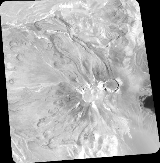
Quicklook
Copyright