TYPE:
SENSOR
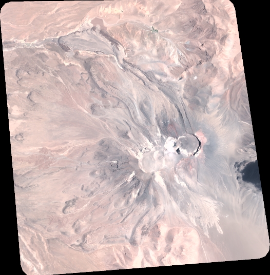
LAYER:
DS_PHR1A_202301251451240_FR1_PX_W068S24_0416_01069
FORMAT:
DIMAP
RASTER:
image/tiff
General Information
Map Name
Geometric Processing Level
Radiometric Processing Level
BASIC
Image dimensions
Number of columns
5790
Number of rows
5904
Number of spectral bands
4
Dataset framing
Vertice
Longitude (DEG)
Latitude (DEG)
Row
Col
#1
-67.8036723034957
-23.30692246279131
1
#2
-67.68866500210477
-23.30691520724485
#3
-67.68854090799681
-23.41383389971923
#4
-67.80418622865656
-23.41352165707394
Dataset sources
PHR
Coordinate Reference System
Projected Coordinate System
Geocoding tables identification
EPSG(6.3)
Production
Production Date
2023-01-26T14:32:54.024
Job identification
6624410101-2
Dataset Producer Identification
AIRBUS DS GEO
Producer link
http://www.geo-airbusds.com
Quicklook
Copyright