TYPE:
SENSOR
LAYER:
DS_PHR1A_202301251451407_FR1_PX_W068S24_0416_01049
FORMAT:
DIMAP
RASTER:
image/tiff
General Information
Map Name
Geometric Processing Level
Radiometric Processing Level
BASIC
Image dimensions
Number of columns
22616
Number of rows
22822
Number of spectral bands
1
Dataset framing
Vertice
Longitude (DEG)
Latitude (DEG)
Row
Col
#1
-67.80369013607358
-23.307660544521
#2
-67.68866433996283
-23.30491804096914
#3
-67.68854733625837
-23.41161400825331
#4
-67.80428441355281
-23.4143813710973
Dataset sources
PHR
Coordinate Reference System
Projected Coordinate System
Geocoding tables identification
EPSG(6.3)
Production
Production Date
2023-01-26T14:32:07.249
Job identification
6624409101-1
Dataset Producer Identification
AIRBUS DS GEO
Producer link
http://www.geo-airbusds.com
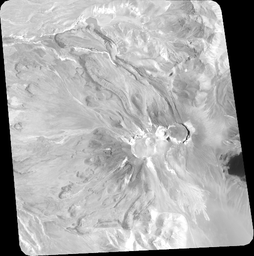
Quicklook
Copyright