TYPE:
SENSOR
LAYER:
DS_PHR1A_202301251451407_FR1_PX_W068S24_0416_01049
FORMAT:
DIMAP
RASTER:
image/tiff
General Information
Map Name
Geometric Processing Level
Radiometric Processing Level
BASIC
Image dimensions
Number of columns
5654
Number of rows
5707
Number of spectral bands
4
Dataset framing
Vertice
Longitude (DEG)
Latitude (DEG)
Row
Col
#1
-67.80367495107086
-23.30766362032539
1
#2
-67.68866454313448
-23.30492157663228
#3
-67.68854686573324
-23.41163100433269
#4
-67.8042688886181
-23.41439814306033
Dataset sources
PHR
Coordinate Reference System
Projected Coordinate System
Geocoding tables identification
EPSG(6.3)
Production
Production Date
2023-01-26T14:32:05.195
Job identification
6624409101-2
Dataset Producer Identification
AIRBUS DS GEO
Producer link
http://www.geo-airbusds.com
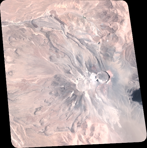
Quicklook
Copyright