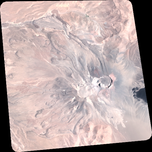
TYPE:
SENSOR
LAYER:
DS_PHR1A_202301251451028_FR1_PX_W068S24_0416_01065
FORMAT:
DIMAP
RASTER:
image/tiff
General Information
Map Name
Geometric Processing Level
Radiometric Processing Level
BASIC
Image dimensions
Number of columns
5715
Number of rows
5719
Number of spectral bands
4
Dataset framing
Vertice
Longitude (DEG)
Latitude (DEG)
Row
Col
#1
-67.8036676222749
-23.3064336089079
1
#2
-67.68872863377177
-23.30794914221612
#3
-67.68856428476964
-23.41605983482038
#4
-67.80402361840507
-23.4137273144527
Dataset sources
PHR
Coordinate Reference System
Projected Coordinate System
Geocoding tables identification
EPSG(6.3)
Production
Production Date
2023-01-26T14:30:49.976
Job identification
6624408101-2
Dataset Producer Identification
AIRBUS DS GEO
Producer link
http://www.geo-airbusds.com
Quicklook
Copyright