TYPE:
ORTHO
LAYER:
DS_PHR1B_202301240513320_FR1_PX_E070S50_0515_01132
FORMAT:
DIMAP
RASTER:
image/tiff
General Information
Map Name
Geometric Processing Level
Radiometric Processing Level
BASIC
Image dimensions
Number of columns
39439
Number of rows
26257
Number of spectral bands
4
Dataset framing
Vertice
Longitude (DEG)
Latitude (DEG)
Row
Col
#1
70.2022902012979
-49.35536849253116
1
#2
70.47374143689025
-49.35222591635532
#3
70.47728037133597
-49.47027271644158
#4
70.20517772021118
-49.47342833885153
Dataset sources
PHR
Coordinate Reference System
Projected Coordinate System
Geocoding tables identification
EPSG(6.3)
Projected Coordinate System name
32742
Projected Coordinate System code
urn:ogc:def:crs:EPSG::32742
Geoposition
Upper - Left Map X Coordinate
587310.25
Upper - Left Map Y Coordinate
4532343.25
Image sampling
0.5 x 0.5
Production
Production Date
2023-01-26T03:00:30.206
Job identification
6623895101
Dataset Producer Identification
AIRBUS DS GEO
Producer link
http://www.geo-airbusds.com
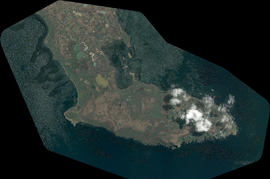
Quicklook
Copyright