TYPE:
ORTHO
LAYER:
DS_PHR1B_202301240513114_FR1_PX_E069S50_0913_01943
FORMAT:
DIMAP
RASTER:
image/tiff
General Information
Map Name
Geometric Processing Level
Radiometric Processing Level
BASIC
Image dimensions
Number of columns
40339
Number of rows
44169
Number of spectral bands
4
Dataset framing
Vertice
Longitude (DEG)
Latitude (DEG)
Row
Col
#1
69.53281320706073
-49.3827190393821
1
#2
69.8106742366098
-49.38110454009455
#3
69.81395993757161
-49.57972714223222
#4
69.53497288886989
-49.58135293896281
Dataset sources
PHR
Coordinate Reference System
Projected Coordinate System
Geocoding tables identification
EPSG(6.3)
Projected Coordinate System name
32742
Projected Coordinate System code
urn:ogc:def:crs:EPSG::32742
Geoposition
Upper - Left Map X Coordinate
538671.75
Upper - Left Map Y Coordinate
4529861.25
Image sampling
0.5 x 0.5
Production
Production Date
2023-01-26T03:05:05.924
Job identification
6623894101
Dataset Producer Identification
AIRBUS DS GEO
Producer link
http://www.geo-airbusds.com
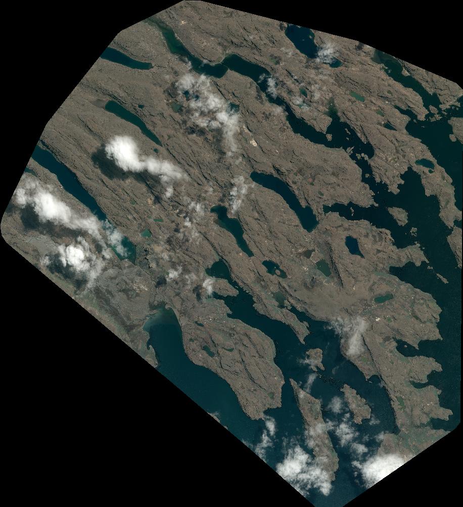
Quicklook
Copyright