TYPE:
ORTHO
LAYER:
DS_PHR1B_202301240513025_FR1_PX_E069S50_1113_01491
FORMAT:
DIMAP
RASTER:
image/tiff
General Information
Map Name
Geometric Processing Level
Radiometric Processing Level
BASIC
Image dimensions
Number of columns
18599
Number of rows
34187
Number of spectral bands
4
Dataset framing
Vertice
Longitude (DEG)
Latitude (DEG)
Row
Col
#1
69.76807035902523
-49.40738234802853
1
#2
69.89623965337736
-49.4064598935302
#3
69.89905018689267
-49.56019014510754
#4
69.77047906905972
-49.56111759162081
Dataset sources
PHR
Coordinate Reference System
Projected Coordinate System
Geocoding tables identification
EPSG(6.3)
Projected Coordinate System name
32742
Projected Coordinate System code
urn:ogc:def:crs:EPSG::32742
Geoposition
Upper - Left Map X Coordinate
555718.75
Upper - Left Map Y Coordinate
4526972.25
Image sampling
0.5 x 0.5
Production
Production Date
2023-01-26T02:57:00.407
Job identification
6623893101
Dataset Producer Identification
AIRBUS DS GEO
Producer link
http://www.geo-airbusds.com
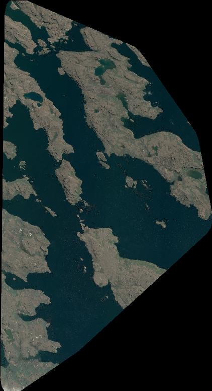
Quicklook
Copyright