TYPE:
SENSOR
LAYER:
DS_PHR1A_202301241033118_FR1_PX_E006N46_0508_01893
FORMAT:
DIMAP
RASTER:
image/jp2
General Information
Map Name
Geometric Processing Level
Radiometric Processing Level
BASIC
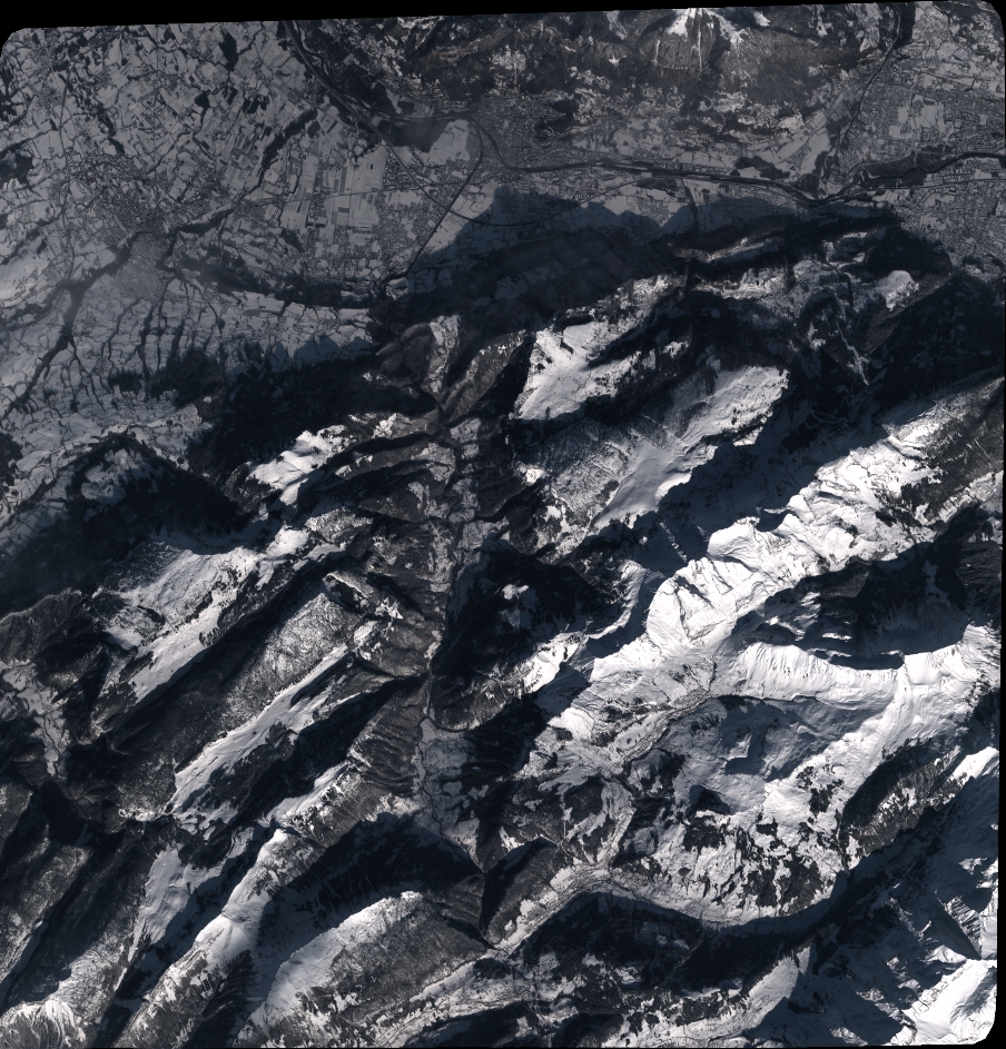
Image dimensions
Number of columns
9952
Number of rows
10379
Number of spectral bands
4
Dataset framing
Vertice
Longitude (DEG)
Latitude (DEG)
Row
Col
#1
6.27190556897002
46.10863550396613
1
#2
6.539191977707127
46.10304987167308
#3
6.540015136724332
45.90924370753299
#4
6.274667426056595
45.91402994898355
Dataset sources
PHR
Coordinate Reference System
Projected Coordinate System
Geocoding tables identification
EPSG(6.3)
Production
Production Date
2023-01-25T06:30:41.911
Job identification
6622702201-2
Dataset Producer Identification
AIRBUS DS GEO
Producer link
http://www.geo-airbusds.com
Quicklook
Copyright