TYPE:
SENSOR
LAYER:
DS_PHR1A_202301241032518_FR1_PX_E006N46_0807_03445
FORMAT:
DIMAP
RASTER:
image/jp2
General Information
Map Name
Geometric Processing Level
Radiometric Processing Level
BASIC
Image dimensions
Number of columns
39840
Number of rows
77027
Number of spectral bands
1
Dataset framing
Vertice
Longitude (DEG)
Latitude (DEG)
Row
Col
#1
6.496637881329943
46.26934709140131
#2
6.762846172494762
46.26840890051012
#3
6.760648318361307
45.92265645013754
#4
6.500446731657779
45.92192931265478
Dataset sources
PHR
Coordinate Reference System
Projected Coordinate System
Geocoding tables identification
EPSG(6.3)
Production
Production Date
2023-01-25T06:36:54.314
Job identification
6622701201-1
Dataset Producer Identification
AIRBUS DS GEO
Producer link
http://www.geo-airbusds.com
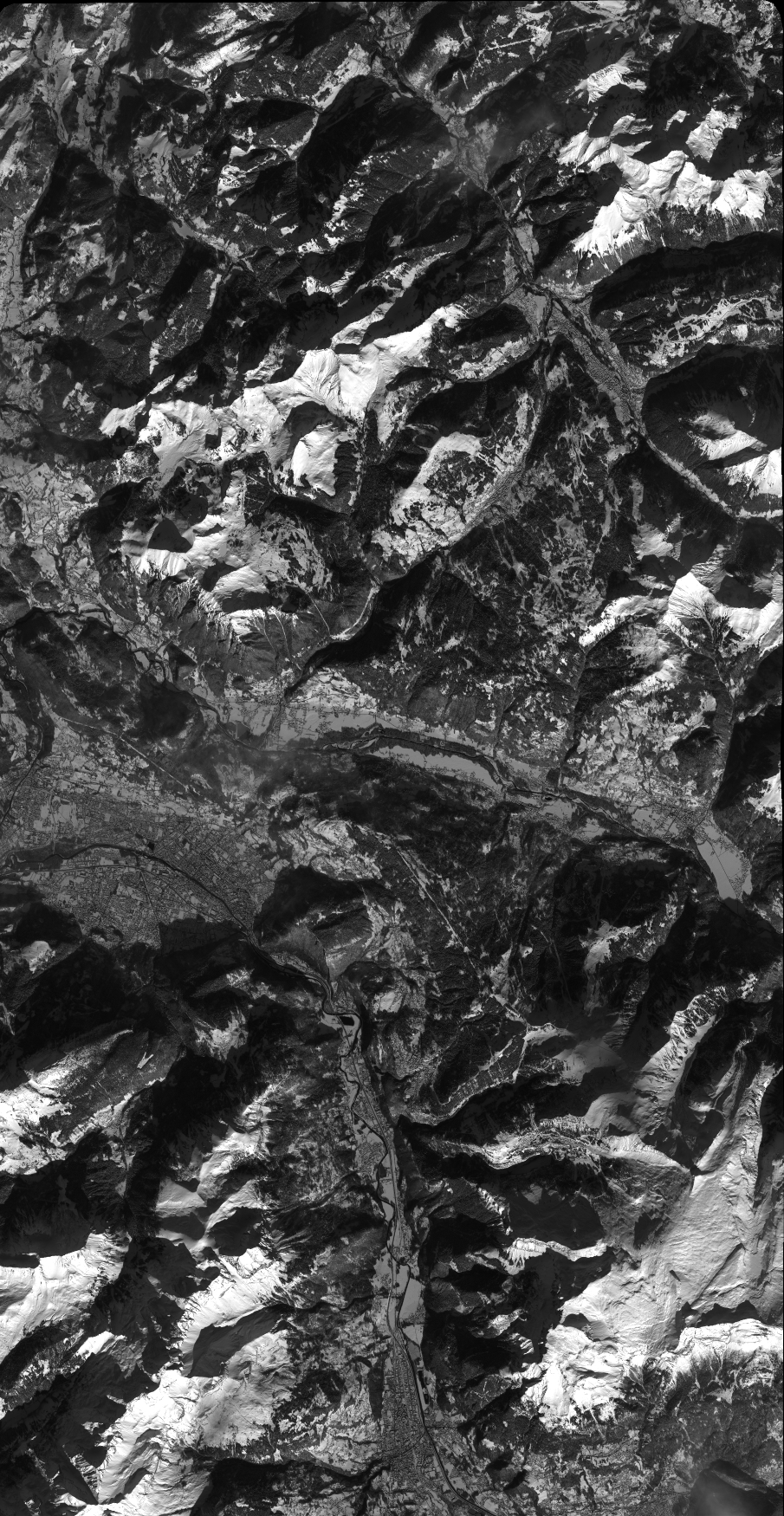
Quicklook
Copyright