TYPE:
SENSOR
LAYER:
DS_PHR1A_202301241032518_FR1_PX_E006N46_0807_03445
FORMAT:
DIMAP
RASTER:
image/jp2
General Information
Map Name
Geometric Processing Level
Radiometric Processing Level
BASIC
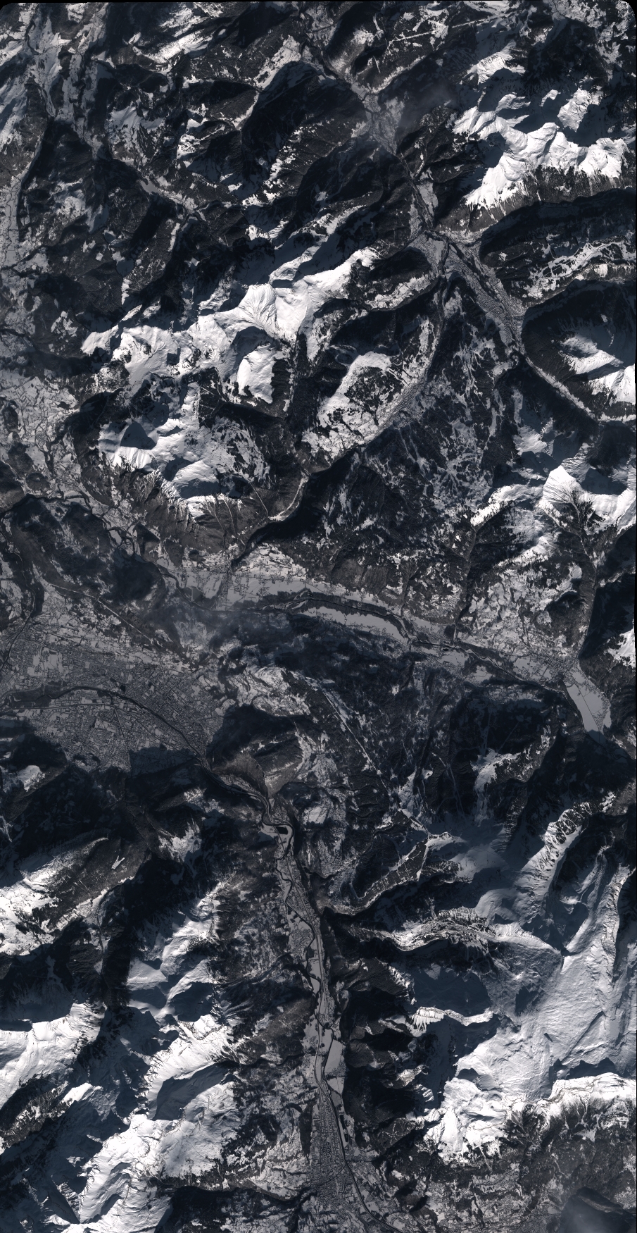
Image dimensions
Number of columns
9961
Number of rows
19257
Number of spectral bands
4
Dataset framing
Vertice
Longitude (DEG)
Latitude (DEG)
Row
Col
#1
6.49664702821537
46.26934396511133
1
#2
6.762862352550393
46.26840632063394
#3
6.760663210136464
45.9226635620011
#4
6.500458734216935
45.92193565938526
Dataset sources
PHR
Coordinate Reference System
Projected Coordinate System
Geocoding tables identification
EPSG(6.3)
Production
Production Date
2023-01-25T06:35:48.170
Job identification
6622701201-2
Dataset Producer Identification
AIRBUS DS GEO
Producer link
http://www.geo-airbusds.com
Quicklook
Copyright