TYPE:
SENSOR
LAYER:
DS_PHR1A_202301241032340_FR1_PX_E006N46_1106_03441
FORMAT:
DIMAP
RASTER:
image/jp2
General Information
Map Name
Geometric Processing Level
Radiometric Processing Level
BASIC
Image dimensions
Number of columns
39600
Number of rows
76785
Number of spectral bands
1
Dataset framing
Vertice
Longitude (DEG)
Latitude (DEG)
Row
Col
#1
6.716285787069548
46.26829130902261
#2
6.982964800957074
46.27212278540473
#3
6.987894025552021
45.92100811595914
#4
6.717874189399968
45.91071870292159
Dataset sources
PHR
Coordinate Reference System
Projected Coordinate System
Geocoding tables identification
EPSG(6.3)
Production
Production Date
2023-01-25T06:36:44.284
Job identification
6622700201-1
Dataset Producer Identification
AIRBUS DS GEO
Producer link
http://www.geo-airbusds.com
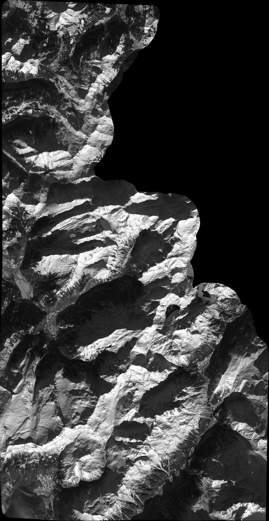
Quicklook
Copyright