TYPE:
ORTHO
LAYER:
DS_PHR1A_202301230521263_FR1_PX_E069S50_0213_01831
FORMAT:
DIMAP
RASTER:
image/jp2
General Information
Map Name
Geometric Processing Level
Radiometric Processing Level
BASIC
Image dimensions
Number of columns
29009
Number of rows
42181
Number of spectral bands
1
Dataset framing
Vertice
Longitude (DEG)
Latitude (DEG)
Row
Col
#1
69.06256644362989
-49.46787073589385
#2
69.2627445677105
-49.46758924399812
#3
69.26376444295809
-49.65728623000309
#4
69.06280930618085
-49.65756960364505
Dataset sources
PHR
Coordinate Reference System
Projected Coordinate System
Geocoding tables identification
EPSG(6.3)
Projected Coordinate System name
32742
Projected Coordinate System code
urn:ogc:def:crs:EPSG::32742
Geoposition
Upper - Left Map X Coordinate
504533.25
Upper - Left Map Y Coordinate
4520529.25
Image sampling
0.5 x 0.5
Production
Production Date
2023-01-26T08:42:14.503
Job identification
6624329101-1
Dataset Producer Identification
AIRBUS DS GEO
Producer link
http://www.geo-airbusds.com
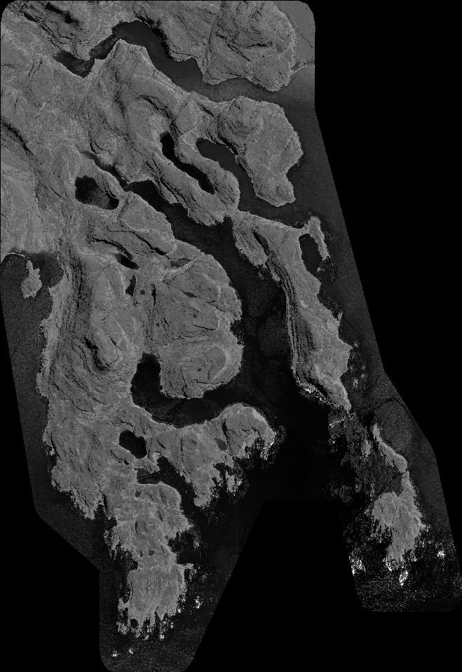
Quicklook
Copyright