TYPE:
ORTHO
LAYER:
DS_PHR1A_202301230521263_FR1_PX_E069S50_0213_01831
FORMAT:
DIMAP
RASTER:
image/jp2
General Information
Map Name
Geometric Processing Level
Radiometric Processing Level
BASIC
Image dimensions
Number of columns
7253
Number of rows
10546
Number of spectral bands
4
Dataset framing
Vertice
Longitude (DEG)
Latitude (DEG)
Row
Col
#1
69.06256299607684
-49.46787298647985
1
#2
69.26274112937358
-49.46759150053312
#3
69.26376099135632
-49.65728848651619
#4
69.06280584526486
-49.6575718541694
Dataset sources
PHR
Coordinate Reference System
Projected Coordinate System
Geocoding tables identification
EPSG(6.3)
Projected Coordinate System name
32742
Projected Coordinate System code
urn:ogc:def:crs:EPSG::32742
Geoposition
Upper - Left Map X Coordinate
504533
Upper - Left Map Y Coordinate
4520529
Image sampling
2 x 2
Production
Production Date
2023-01-26T08:40:59.353
Job identification
6624329101-2
Dataset Producer Identification
AIRBUS DS GEO
Producer link
http://www.geo-airbusds.com
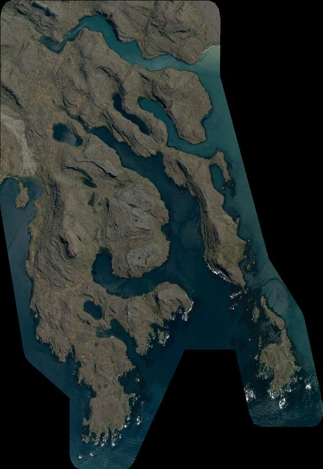
Quicklook
Copyright