TYPE:
ORTHO
LAYER:
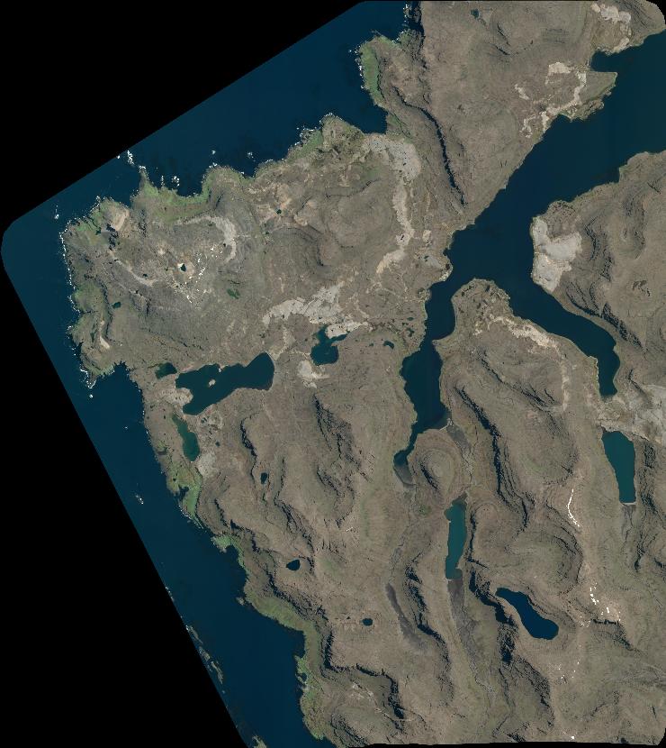
DS_PHR1A_202301230520248_FR1_PX_E068S49_1103_01421
FORMAT:
DIMAP
RASTER:
image/jp2
General Information
Map Name
Geometric Processing Level
Radiometric Processing Level
BASIC
Image dimensions
Number of columns
8146
Number of rows
9130
Number of spectral bands
4
Dataset framing
Vertice
Longitude (DEG)
Latitude (DEG)
Row
Col
#1
68.76107972785299
-48.79451569262971
1
#2
68.9828845877237
-48.79476203406309
#3
68.98282846243697
-48.95900751768256
#4
68.76029626361877
-48.95875975621182
Dataset sources
PHR
Coordinate Reference System
Projected Coordinate System
Geocoding tables identification
EPSG(6.3)
Projected Coordinate System name
32742
Projected Coordinate System code
urn:ogc:def:crs:EPSG::32742
Geoposition
Upper - Left Map X Coordinate
482453
Upper - Left Map Y Coordinate
4595359
Image sampling
2 x 2
Production
Production Date
2023-01-23T19:07:23.911
Job identification
6621554101-2
Dataset Producer Identification
AIRBUS DS GEO
Producer link
http://www.geo-airbusds.com
Quicklook
Copyright