TYPE:
ORTHO
LAYER:
DS_PHR1A_202301230521252_FR1_PX_E069S50_0213_01795
FORMAT:
DIMAP
RASTER:
image/tiff
General Information
Map Name
Geometric Processing Level
Radiometric Processing Level
BASIC
Image dimensions
Number of columns
37472
Number of rows
41562
Number of spectral bands
4
Dataset framing
Vertice
Longitude (DEG)
Latitude (DEG)
Row
Col
#1
68.99216884070013
-49.39479000134249
1
#2
69.25036500696818
-49.39451920122541
#3
69.25132002322705
-49.58143494579014
#4
68.99213896839409
-49.58170752880051
Dataset sources
PHR
Coordinate Reference System
Projected Coordinate System
Geocoding tables identification
EPSG(6.3)
Projected Coordinate System name
32742
Projected Coordinate System code
urn:ogc:def:crs:EPSG::32742
Geoposition
Upper - Left Map X Coordinate
499431.75
Upper - Left Map Y Coordinate
4528655.75
Image sampling
0.5 x 0.5
Production
Production Date
2023-01-23T19:15:44.103
Job identification
6621558101
Dataset Producer Identification
AIRBUS DS GEO
Producer link
http://www.geo-airbusds.com
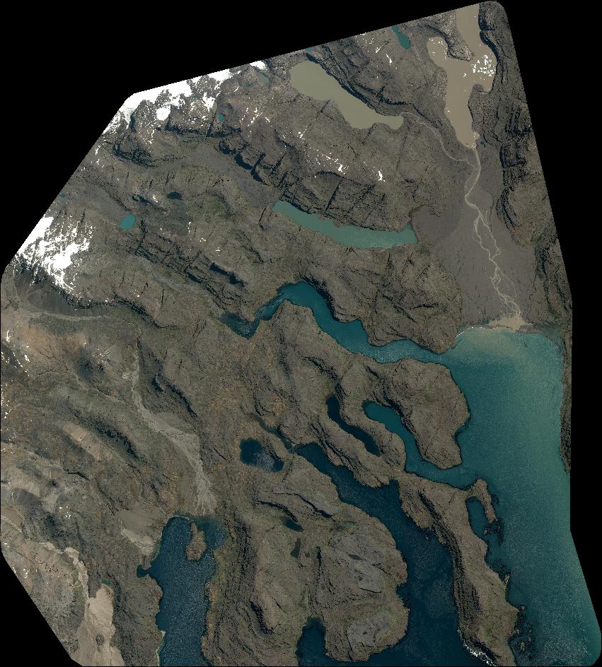
Quicklook
Copyright