TYPE:
ORTHO
LAYER:
DS_PHR1A_202301230520456_FR1_PX_E069S50_0223_01570
FORMAT:
DIMAP
RASTER:
image/tiff
General Information
Map Name
Geometric Processing Level
Radiometric Processing Level
BASIC
Image dimensions
Number of columns
28897
Number of rows
36725
Number of spectral bands
4
Dataset framing
Vertice
Longitude (DEG)
Latitude (DEG)
Row
Col
#1
69.01135886853334
-48.97392080697995
1
#2
69.20878723684946
-48.97373243923164
#3
69.20948017029833
-49.13890722832961
#4
69.01139656724465
-49.13909668906528
Dataset sources
PHR
Coordinate Reference System
Projected Coordinate System
Geocoding tables identification
EPSG(6.3)
Projected Coordinate System name
32742
Projected Coordinate System code
urn:ogc:def:crs:EPSG::32742
Geoposition
Upper - Left Map X Coordinate
500831.25
Upper - Left Map Y Coordinate
4575443.25
Image sampling
0.5 x 0.5
Production
Production Date
2023-01-23T19:10:33.866
Job identification
6621557101
Dataset Producer Identification
AIRBUS DS GEO
Producer link
http://www.geo-airbusds.com
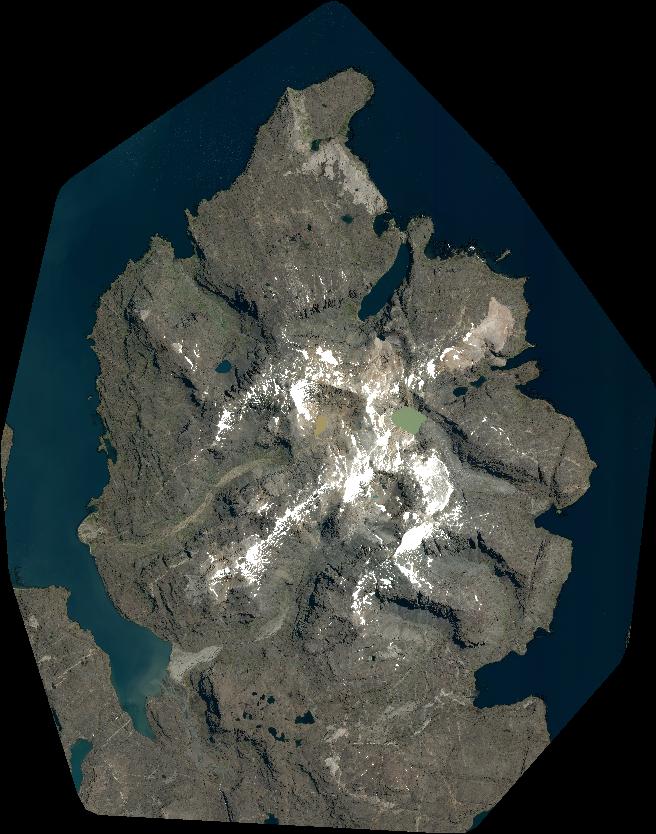
Quicklook
Copyright