TYPE:
ORTHO
LAYER:
DS_PHR1A_202301230521169_FR1_PX_E069S50_0317_01147
FORMAT:
DIMAP
RASTER:
image/jp2
General Information
Map Name
Geometric Processing Level
Radiometric Processing Level
BASIC
Image dimensions
Number of columns
2651
Number of rows
6542
Number of spectral bands
4
Dataset framing
Vertice
Longitude (DEG)
Latitude (DEG)
Row
Col
#1
69.15946644200616
-49.25976040487792
1
#2
69.23230674113287
-49.25963690921919
#3
69.23286087051389
-49.37731007023443
#4
69.15984682509061
-49.37743407666323
Dataset sources
PHR
Coordinate Reference System
Projected Coordinate System
Geocoding tables identification
EPSG(6.3)
Projected Coordinate System name
32742
Projected Coordinate System code
urn:ogc:def:crs:EPSG::32742
Geoposition
Upper - Left Map X Coordinate
511603
Upper - Left Map Y Coordinate
4543655
Image sampling
2 x 2
Production
Production Date
2023-01-23T19:04:43.888
Job identification
6621556101-2
Dataset Producer Identification
AIRBUS DS GEO
Producer link
http://www.geo-airbusds.com
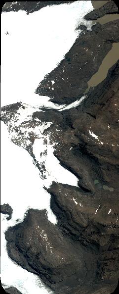
Quicklook
Copyright