TYPE:
ORTHO
LAYER:
DS_PHR1A_202301230520343_FR1_PX_E069S49_0604_01146
FORMAT:
DIMAP
RASTER:
image/jp2
General Information
Map Name
Geometric Processing Level
Radiometric Processing Level
BASIC
Image dimensions
Number of columns
26436
Number of rows
27621
Number of spectral bands
1
Dataset framing
Vertice
Longitude (DEG)
Latitude (DEG)
Row
Col
#1
69.38210615721329
-48.81283929448482
#2
69.56213395416941
-48.81210196792599
#3
69.56352752851471
-48.93632815427854
#4
69.38305346129486
-48.93706869331536
Dataset sources
PHR
Coordinate Reference System
Projected Coordinate System
Geocoding tables identification
EPSG(6.3)
Projected Coordinate System name
32742
Projected Coordinate System code
urn:ogc:def:crs:EPSG::32742
Geoposition
Upper - Left Map X Coordinate
528052.75
Upper - Left Map Y Coordinate
4593279.25
Image sampling
0.5 x 0.5
Production
Production Date
2023-01-23T19:06:33.237
Job identification
6621552101-1
Dataset Producer Identification
AIRBUS DS GEO
Producer link
http://www.geo-airbusds.com
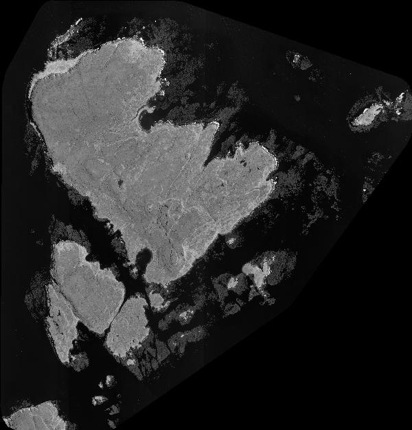
Quicklook
Copyright