TYPE:
ORTHO
LAYER:
DS_PHR1A_202301230520343_FR1_PX_E069S49_0604_01146
FORMAT:
DIMAP
RASTER:
image/jp2
General Information
Map Name
Geometric Processing Level
Radiometric Processing Level
BASIC
Image dimensions
Number of columns
6610
Number of rows
6906
Number of spectral bands
4
Dataset framing
Vertice
Longitude (DEG)
Latitude (DEG)
Row
Col
#1
69.38210957947145
-48.81284153212502
1
#2
69.56214419439988
-48.81210416698062
#3
69.5635377942386
-48.9363303530669
#4
69.38305689211188
-48.9370709308574
Dataset sources
PHR
Coordinate Reference System
Projected Coordinate System
Geocoding tables identification
EPSG(6.3)
Projected Coordinate System name
32742
Projected Coordinate System code
urn:ogc:def:crs:EPSG::32742
Geoposition
Upper - Left Map X Coordinate
528053
Upper - Left Map Y Coordinate
4593279
Image sampling
2 x 2
Production
Production Date
2023-01-23T19:06:03.793
Job identification
6621552101-2
Dataset Producer Identification
AIRBUS DS GEO
Producer link
http://www.geo-airbusds.com
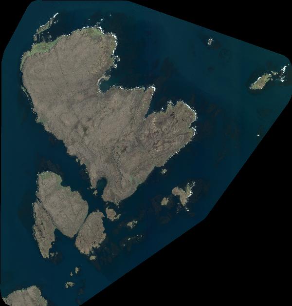
Quicklook
Copyright