TYPE:
ORTHO
LAYER:
DS_PHR1B_202301220528124_FR1_PX_E069S50_0212_01056
FORMAT:
DIMAP
RASTER:
image/tiff
General Information
Map Name
Geometric Processing Level
Radiometric Processing Level
BASIC
Image dimensions
Number of columns
39676
Number of rows
25167
Number of spectral bands
4
Dataset framing
Vertice
Longitude (DEG)
Latitude (DEG)
Row
Col
#1
69.00238130208784
-49.54959658026399
1
#2
69.2766268037019
-49.54926597766123
#3
69.27726792660914
-49.66244456844536
#4
69.00238682118832
-49.66277648817892
Dataset sources
PHR
Coordinate Reference System
Projected Coordinate System
Geocoding tables identification
EPSG(6.3)
Projected Coordinate System name
32742
Projected Coordinate System code
urn:ogc:def:crs:EPSG::32742
Geoposition
Upper - Left Map X Coordinate
500172.25
Upper - Left Map Y Coordinate
4511445.25
Image sampling
0.5 x 0.5
Production
Production Date
2023-01-23T12:31:23.271
Job identification
6621239101
Dataset Producer Identification
AIRBUS DS GEO
Producer link
http://www.geo-airbusds.com
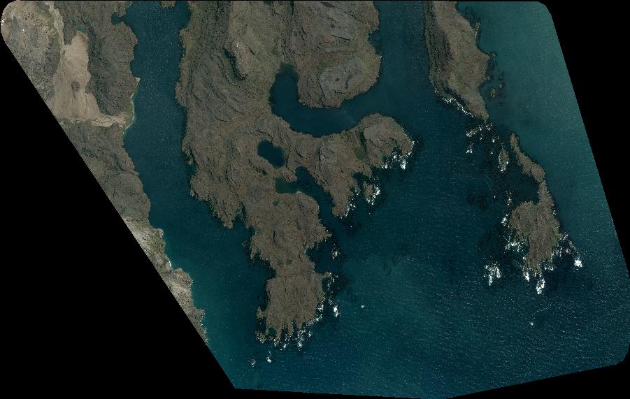
Quicklook
Copyright