TYPE:
ORTHO
LAYER:
DS_PHR1B_202301220528312_FR1_PX_E068S50_1108_01070
FORMAT:
DIMAP
RASTER:
image/jp2
General Information
Map Name
Geometric Processing Level
Radiometric Processing Level
BASIC
Image dimensions
Number of columns
42588
Number of rows
25490
Number of spectral bands
1
Dataset framing
Vertice
Longitude (DEG)
Latitude (DEG)
Row
Col
#1
68.76450448618415
-49.63341249083138
#2
69.0593856514006
-49.6336367601879
#3
69.059525475442
-49.74826755815725
#4
68.76395001578238
-49.74804238338057
Dataset sources
PHR
Coordinate Reference System
Projected Coordinate System
Geocoding tables identification
EPSG(6.3)
Projected Coordinate System name
32742
Projected Coordinate System code
urn:ogc:def:crs:EPSG::32742
Geoposition
Upper - Left Map X Coordinate
482994.75
Upper - Left Map Y Coordinate
4502100.25
Image sampling
0.5 x 0.5
Production
Production Date
2023-01-23T12:22:14.712
Job identification
6621237101-1
Dataset Producer Identification
AIRBUS DS GEO
Producer link
http://www.geo-airbusds.com
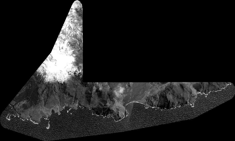
Quicklook
Copyright