TYPE:
ORTHO
LAYER:
DS_PHR1B_202301220528312_FR1_PX_E068S50_1108_01070
FORMAT:
DIMAP
RASTER:
image/jp2
General Information
Map Name
Geometric Processing Level
Radiometric Processing Level
BASIC
Image dimensions
Number of columns
10648
Number of rows
6374
Number of spectral bands
4
Dataset framing
Vertice
Longitude (DEG)
Latitude (DEG)
Row
Col
#1
68.76450798077867
-49.6334057519611
1
#2
69.05939602953482
-49.63363000889482
#3
69.05953589449085
-49.7482742986389
#4
68.76395345326883
-49.74804913622842
Dataset sources
PHR
Coordinate Reference System
Projected Coordinate System
Geocoding tables identification
EPSG(6.3)
Projected Coordinate System name
32742
Projected Coordinate System code
urn:ogc:def:crs:EPSG::32742
Geoposition
Upper - Left Map X Coordinate
482995
Upper - Left Map Y Coordinate
4502101
Image sampling
2 x 2
Production
Production Date
2023-01-23T12:21:54.036
Job identification
6621237101-2
Dataset Producer Identification
AIRBUS DS GEO
Producer link
http://www.geo-airbusds.com
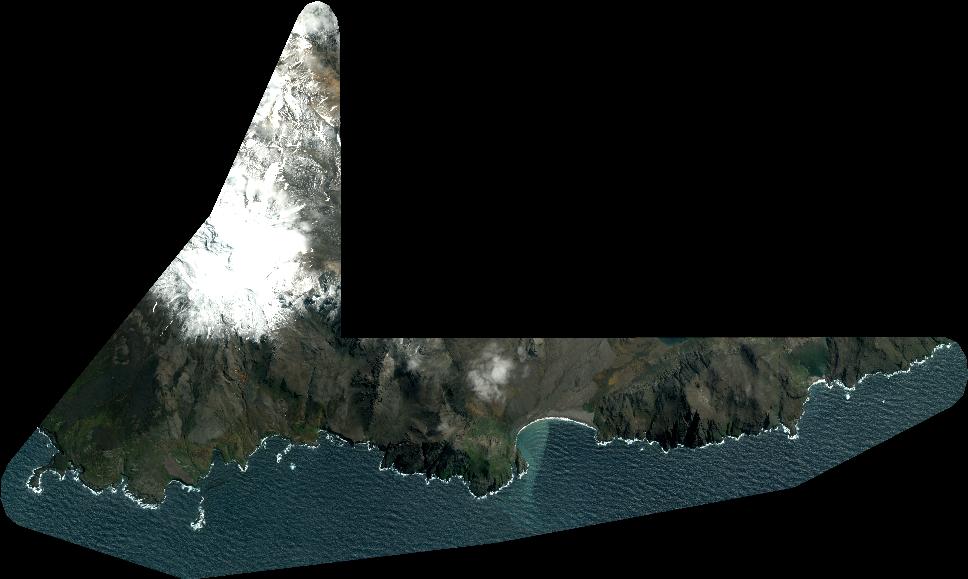
Quicklook
Copyright