TYPE:
SYSTEM_SENSOR
LAYER:
DS_PHR1A_202301210514478_FR1_PX_E084N28_0510_01753
FORMAT:
DIMAP
RASTER:
image/tiff
General Information
Map Name
Geometric Processing Level
Radiometric Processing Level
BASIC
Image dimensions
Number of columns
39383
Number of rows
38489
Number of spectral bands
1
Dataset framing
Vertice
Longitude (DEG)
Latitude (DEG)
Row
Col
#1
84.27672504496678
28.48058751703288
#2
84.48082276453816
28.47892832275573
#3
84.48373763966319
28.30420720641951
#4
84.28033659749715
28.30606637435512
Dataset sources
PHR
Coordinate Reference System
Projected Coordinate System
Geocoding tables identification
EPSG(6.3)
Production
Production Date
2023-01-23T08:06:18.477
Job identification
6620391301-1
Dataset Producer Identification
AIRBUS DS GEO
Producer link
http://www.geo-airbusds.com
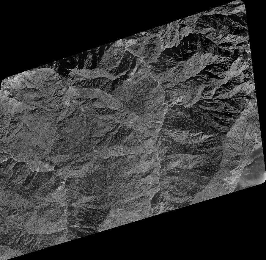
Quicklook
Copyright